Source to Abbots Worthy (22.9km)
I walked my third section of the Itchen Way from the source to Abbots Worthy on 29 September, catching the 67 bus from Winchester to near the entrance to the National Trust’s Hinton Ampner.
Crossing the road, there’s a diagonal path across part of the Hinton Ampner estate that leads out into the small village of the same name. Turning right, the route follows a minor road and then continues as a footpath. It’s a bit tricky to find, tucked at the side of the locked gates into the National Trust property. I then continued through the estate as it follows the boundaries of the NT’s ‘paid entrance’ area.
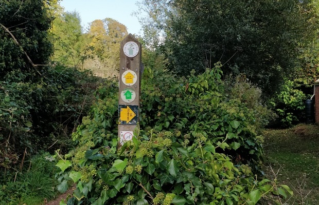
The first Itchen Way sign appears as the footpath turns westward . It’s seems a bit premature as I hadn’t reached the source yet.
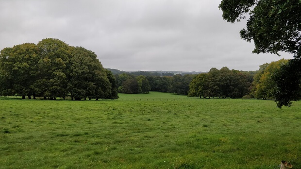
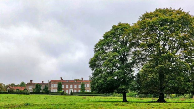
There’s a fine view of Hinton Ampner House as the path continues westwards.
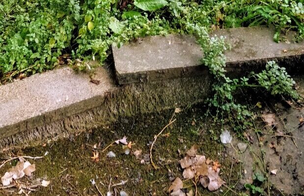
The footpath eventually reaches the Kilmeston Road and we turn right onto the road. The source of the river is close to this point. Depending on the season, it’s can be muddy or a small pool. There are further springs on the other side of the road.
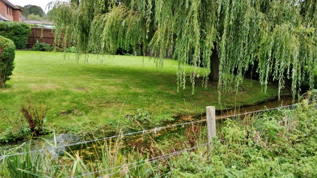
The route continues north, parallel to the young river until it reaches the busy A272. Cross carefully,head eastwards along the road and then turn north along a footpath parallel to a channel of the river.
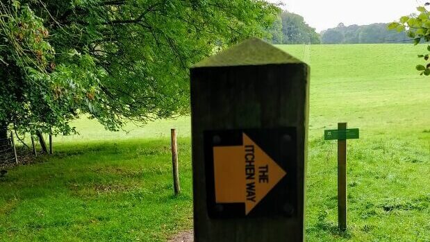
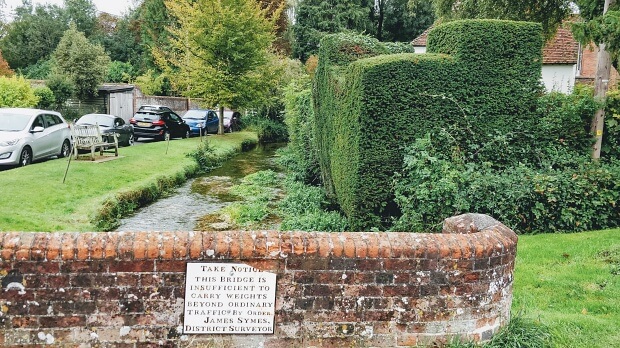
The Itchen Way continues north, touching the B3046, then north through fields before turning east towards the picturesque centre of Cheriton, where the Itchen flows through the village and many houses are accessed by small bridges.
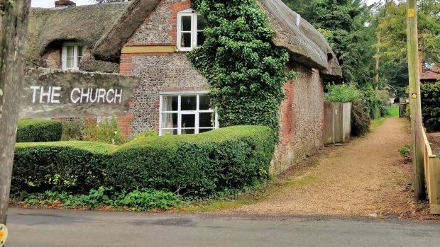
The Itchen Way route out of the village is not very clear. There’s a much more obvious sign for the Wayfarers’ Way. Eventually I found the Itchen Way route, up by the church.
After zigzagging over fields north-west of the church, the Way heads north through fields and runs parallel to the river for about 1km until it reaches Cheriton Mill, where it crosses the river and provides an attractive view:
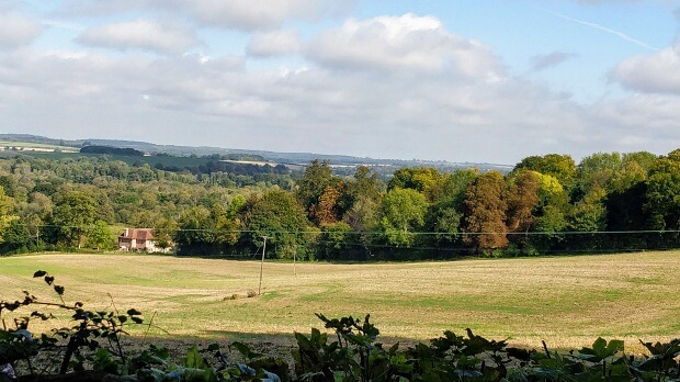
Now a few metres along the B3046 before heading north-west across fields through Titchborne Park. There is then an annoying deviation north-east towards New Alresford and south-westwards back to Vernal Farm. Then across the river and road and up a steepish slope towards Trodd’s Copse. Just before the copse there’s a hedge and a bench with a fine view over the New Alresford.

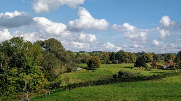
After a rest on the bench it’s onwards along the edge of Trodd’s Copse and a careful crossing of the busy A31 dual carriageway. The path then goes along the old road and turns right at the Mews Cattery. Leaving the woodland there is another fine view over the Itchen Valley above Ovington.
The Way descends over fields to a minor road which it follows past the rather grand Ovington House into Ovington itself.

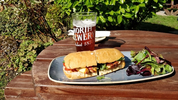
At the T-junction in the village, the Way continues straight on as far as the Bush Inn. On a nice sunny afternoon I was tempted to lunch in the garden which overlooks the river.
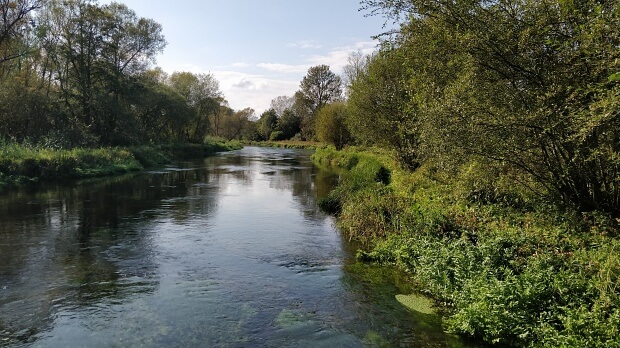
After the Bush Inn the Way crosses the river and reaches probably the most attractive section of the walk as it traverses a long, thin island between two channels of the river.
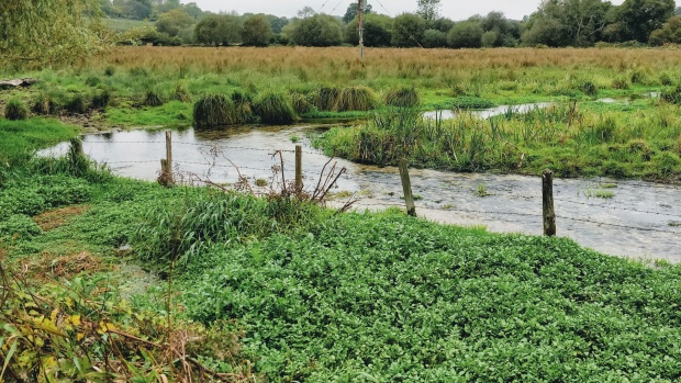
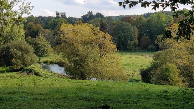
At the end of the island the Way turns right, then left through a field to the south of Itchen Stoke. It then turns south west to cross the river again. But before reaching the river you need to cross a field with many springs – so it can be muddy, saturated or completed flooded. After crossing the river the path cuts through a field and then rejoins Lovington Lane. After 200m it leaves the road and climbs a steep bank. There’s a very Constablesque view of the river valley here:
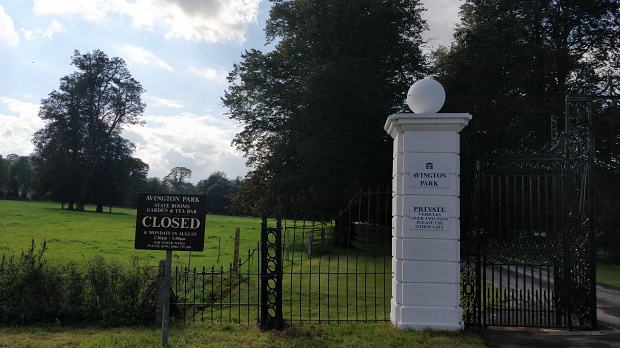
A rather boring section follows, eventually running along the southern and eastern boundaries of Avington Park golf course. Back on a minor road again, the Way does a dogleg and heads north past the grand entrance to Avington Park and into Itchen Abbas.
Just to the north the church, the path heads west and runs along a bank with gardens of large houses on the right and views of the river valley to the left.
At Chilland, the Way crosses a small dead-end road, continues up a short bank and along the backs of large gardens and paddocks as far as the church in Martyr Worthy. It takes a left-hand turn and crosses the river again before reaching the road where it turns westwards to Easton. By the Chestnut Horse pub the path cuts through a home farm, where you might spot goats; and turns north onto Easton Lane.
After crossing the Itchen again, the Way passes through fields on the north bank of the river and under the M3. A deviation around a large house takes the path briefly up to the B3047 and then down through scrubland to the end for today at the foot of Mill Lane in Abbots Worthy.