Bishopstoke to Winchester (12.4km)
On 15 July 2020 I took the opportunity of getting a lift with my wife to her workplace to do some longer, linear walks back home. This led me to planning to walk the 51.2km (31.8 mile) Itchen Way. Given the aforesaid lift, the first walk was from Bishopstoke to Winchester. Starting where the Itchen Navigation canal crosses Bishopstoke Road.
South of Winchester, the Way mainly follows the Itchen Navigation which was essentially the improved river, with the main river channel being used for some sections, and cuts with locks used to bypass the difficult sections.
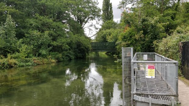
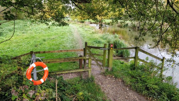
And just north of Bishopstoke Road the Way passes the disused Stoke lock, which now functions as a weir and sluice.
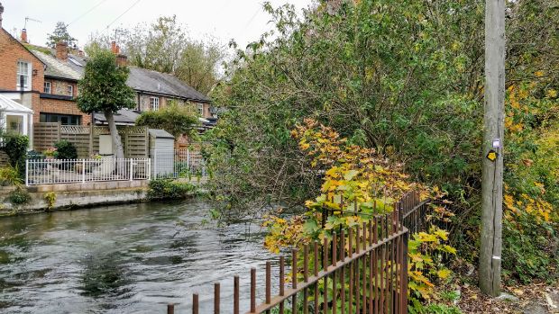
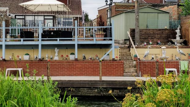
(1.6km) North of the Eastleigh railway yards, the navigation and path loop under the railway and there’s a whole road of houses have gardens backing down to the water. I was really taken with the quirky use and decoration of the bank.
The loop ends with the path passing under the railway again, crossing Highbridge Road (2.5km) and passing Springbridge farm, which appears to have rare breed sheep.
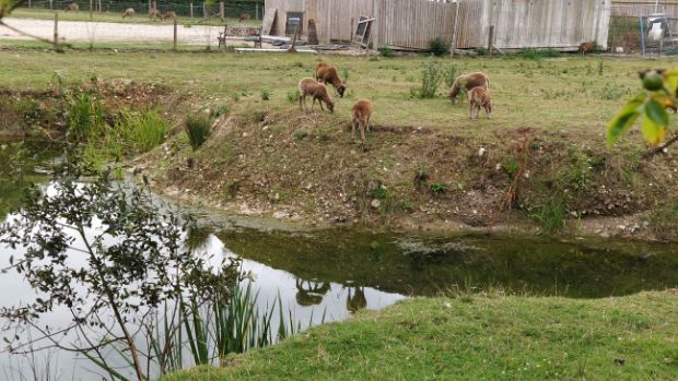
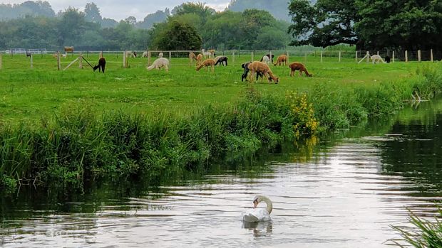
The path then parallels the navigation as far as Bambridge, passing the Hengist Alpaca Farm, a smallholding specialising in alpacas with superior genetics that also offers trekking.
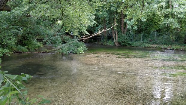
One of the ‘wild’ branches of the river also approaches the path here.
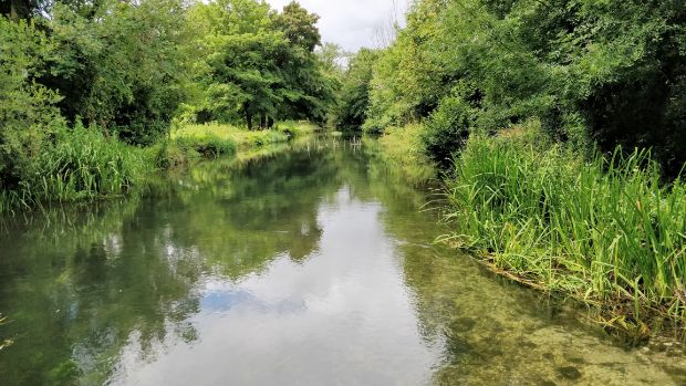
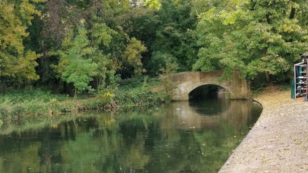
(4.0km) The path emerges onto the narrow and quite busy Kiln Lane, cross the bridge and take a right onto a beautiful and peaceful part of the navigation as you approach Otterbourne.
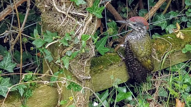
On the day I was here, walkers were held up by this young kingfisher who was sitting on the path looking and sounding lost. `We managed to eventually encourage it into the undergrowth.
(5.1km) A little further north, the way passes Southern Water’s treatment plant.
North of here, I didn’t take any more photos on the day of the walk, but I returned in October to some of the route to take extra photos.
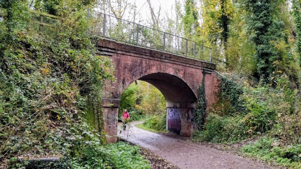
As the path approaches Shawford it runs close to and parallel with a towering brick embankment of the railway. Shawford station provides handy access to the Way and to the attractive village. The path passes in front of some houses with attractive cottage gardens and leads to Shawford road (6.9km). Turn right by the Bridge Inn, cross the navigation and river and take the path on the left.
The Way runs beside the navigation, with large gardens on the other side of the water, and comes out into the Twyford water meadows. The main ‘wild’ river channel is over to the west.
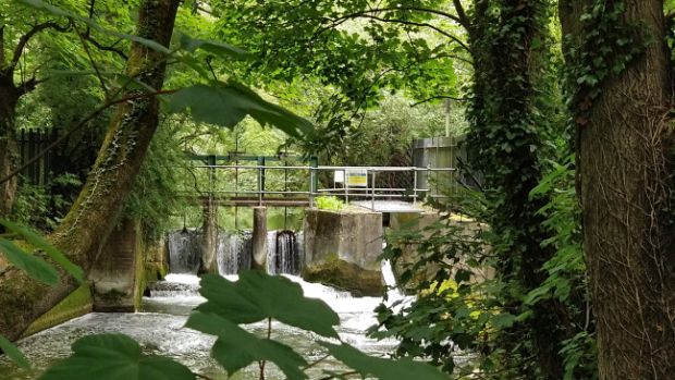
(7.6km) Compton Lock is a popular spot for paddling and wild swimming, but as the path continues north the noise of the M3 motorway becomes more noticeable.
Near the M3, the official path runs through a small thicket onto the B3335 Winchester Road then left along the road, under the motorway and across the busy Hockley Link road (9.0km). There’s also a wider path that sticks close to the water, runs under the M3 and emerges onto Hockley Link.
After crossing Hockley Link the Way can get busier as it forms part of the National Cycle Route 23 as well as a popular short walk. The path runs parallel to the trackbed of the former Oxford to Southampton railway line, past St Catherine’s Hill on the right and partial views of water meadows and the Hospital of St Cross on the left.
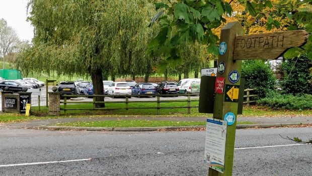
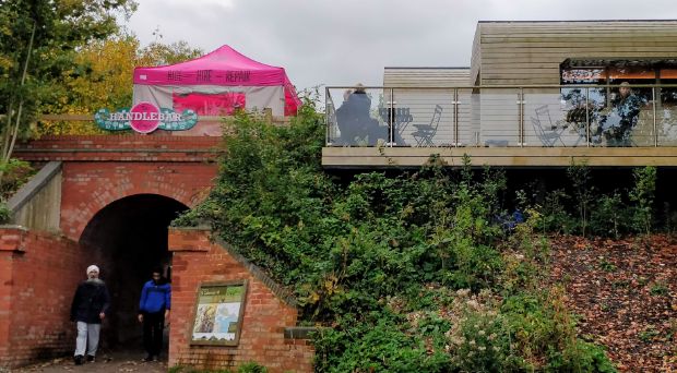
Just before Garnier Road, there is a car park (10.4km) and the Handlebar cafe that sits up on the former railway embankment.
There are three routes into Winchester from Garnier Road, but the Itchen Way takes the most obscure one, running on the west side of the navigation after crossing the Tun Bridge on Garnier Road. The path runs through scrubland, whilst the manicured grass of Winchester College lies on the other side of the water.
Eventually the path leads to Wharf Bridge and into the urban area at Wharf Hill (11.3km). The Itchen Navigation ends here, but the river, of course, continues upstream.
Passing in front of the large Wharf Mill (long since converted into flats), the Way enters the famous stretch called The Weirs, where the Itchen flows very fast and clear.
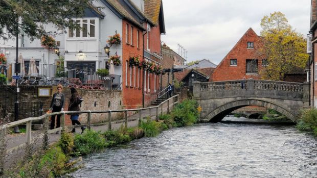
The Weirs ends by the Bishop on the Bridge pub (11.9km) and the Way continues by crossing the river and passing the Winchester City Mill before turning sharp left onto Water Lane. Not surprisingly the lane faces the river and is subject to flooding.
This section of the walk ends where Water Lane meets the junction of Durngate Place and Wales Street (12.4km).