Bishopstoke to Sholing (18.9km)
Following my walk north from Bishopstoke to Winchester on 15 July, I set off south on 26 August from the same starting point on where the Bishopstoke Road crosses the Itchen Navigation. Whilst there are some attractive sections, this walk will especially appeal to people who like to explore urban areas. I recorded my route on the OS Route Mapping service.
Straight off the Road, the path takes on a rural aspect:
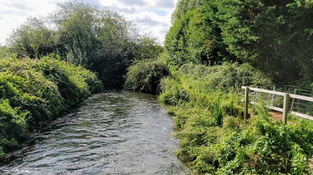
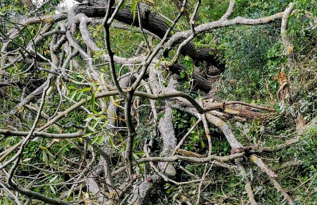
The path continues along the bank of the Navigation, then after 1km moves a little away and passes under the Eastleigh to Fareham railway line. I encountered a mighty fallen tree that had nearly blocked the path – it needed a bit of scrambling and ducking to get through.
Approaching 2km the path turns west, further from the Navigation and approaching Southampton Airport. I diverted off the path to go to the airport’s perimeter fence. With COVID-19 and the demise of Flybe, the airport was very quiet.

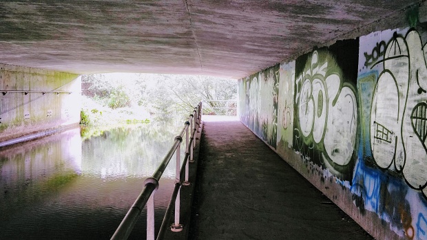
Back on the path, the Itchen Way skirts the edge of a nature reserve until at 4.2km it meets the M27. Here the path turns parallel to the motorway for 300m until it meets the Navigation. Once through the underpass, the path goes back the 300m on the western side of the motorway.
The path then heads south west through scrubby woodland and then meets the urbanised area of Southampton at Mans Bridge. Before the construction of Woodmill, this was the southernmost crossing point of the river. Whilst there has been a bridge here since 932, the ‘current’ old one was built in 1816 and the A27 road is now carried on a 1950s replacement. After crossing the river, the Itchen Way runs parallel to the Navigation through the attractive Riverside Park.
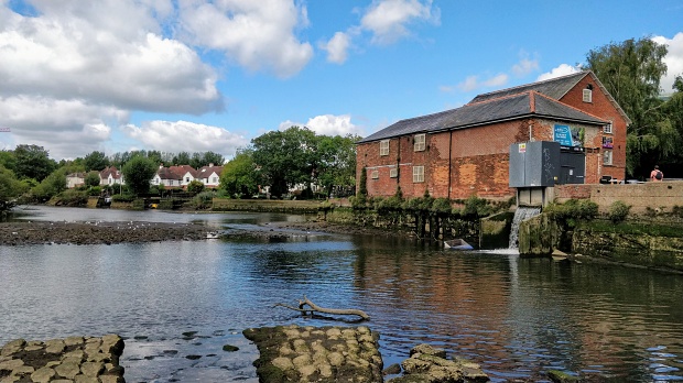
After meandering through the park for 900m, the path arrives at Woodmill. It’s all happening here – a narrow road, an Outdoor Activities Centre, the wood mill and the start of the tidal river.
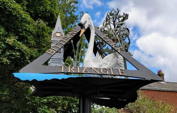
The Way then continues still in River Park and alongside the tidal river for 1.2km until it reaches Cobden Bridge and the suburb of Bitterne Park.
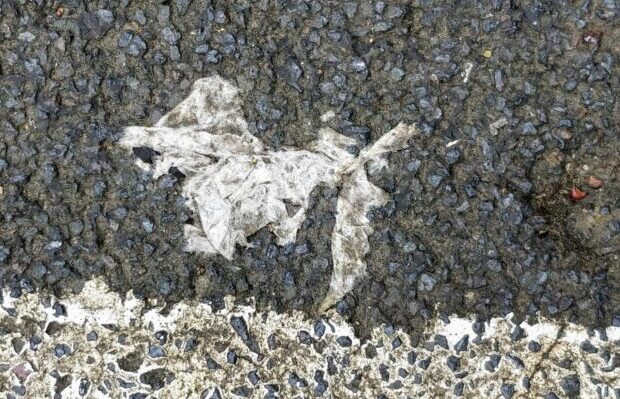
South of Cobden bridge the estuary gets busier, with marinas and industrial premises and the path moves to streets – Whitworth Crescent, Whitworth Road and a detour past Bitterne station, where I spotted a bit of found art on the railway foot bridge.
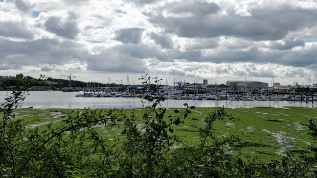
The route continues past the station up onto the busy Bitterne Road West; then, just before the petrol station, takes a dog leg onto Chafen Road for a tour of the residential /light industrial Bitterne peninsula. Passing along Vespasian Road and the small Bitterne Manor Park (with views across the estuary to the St Denys waterfront), the path emerges back on Bitterne Road West. Cross carefully and proceed along Quayside Road, where there are views of the estuary and salt marsh.
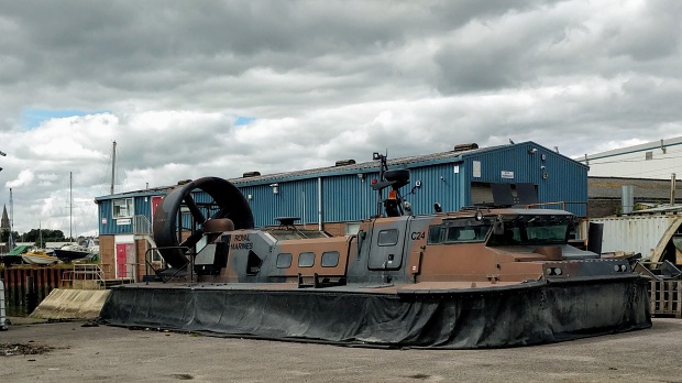
At the end of Quayside Road, where the Chessel Bay Nature Reserve starts, the path turns left, climbing over the railway line and up to Athelstan Road. From here it’s a 1.6km slog along suburban roads (Athelstan Road, right onto Chine Avenue, Braeside Road, right onto Gainsford Road, up steep steps to Bryanston Road, then Osterley Road) where the path emerges onto Peartree Green. I struggled to find the definitive path across the Green, but the path emerges on Sea Road, going under the railway and emerges in real marine industry territory, with Griffon Hoverwork’s premises and an old Royal Marines hovercraft.
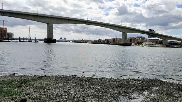
The foreshore here is dominated by the Itchen Bridge, under which the path continues, following Hazel Road, Wharf Road and Keswick Road into the Woolston riverside redevelopment area. Between Lidl and the Woolston library, the route continues along Victoria Road until it reaches the Weston Shore at Southampton Sailing Club.
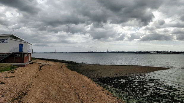
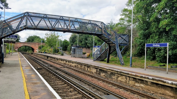
Logically, the Itchen Way would end here, but instead it turns inland and runs parallel to the Jurd’s Lake stream through Waterside Park. Crossing Archery Road, it enters Mayfield Park. A steady rise leads to the Portsmouth Road. The route cross the road, goes under the railway on Spring Road and takes a final detour through the Miller’s Pond nature reserve. It emerges onto Station Road for a final left turn to Sholing station.