
On 1 February, a sunny Saturday, I travelled to Clerkenwell to join 60 or 70 other volunteers on a hack day. We were there to start identifying and mapping walking routes between Britain’s towns and cities.
There are over 200,000 km of public rights of way, in Britain, but they don’t necessarily link into, out of and between towns.
Dan Raven-Ellison, the Ordnance Survey’s GetOutside Champion, came up with the idea to design a network of Slow Ways walking routes that can be used to inspire and guide walking between towns, cities and villages. The routes will use existing footpaths and people will be able to use the network to walk between neighbouring towns or to combine multiple Slow Ways routes for long-distance journeys.
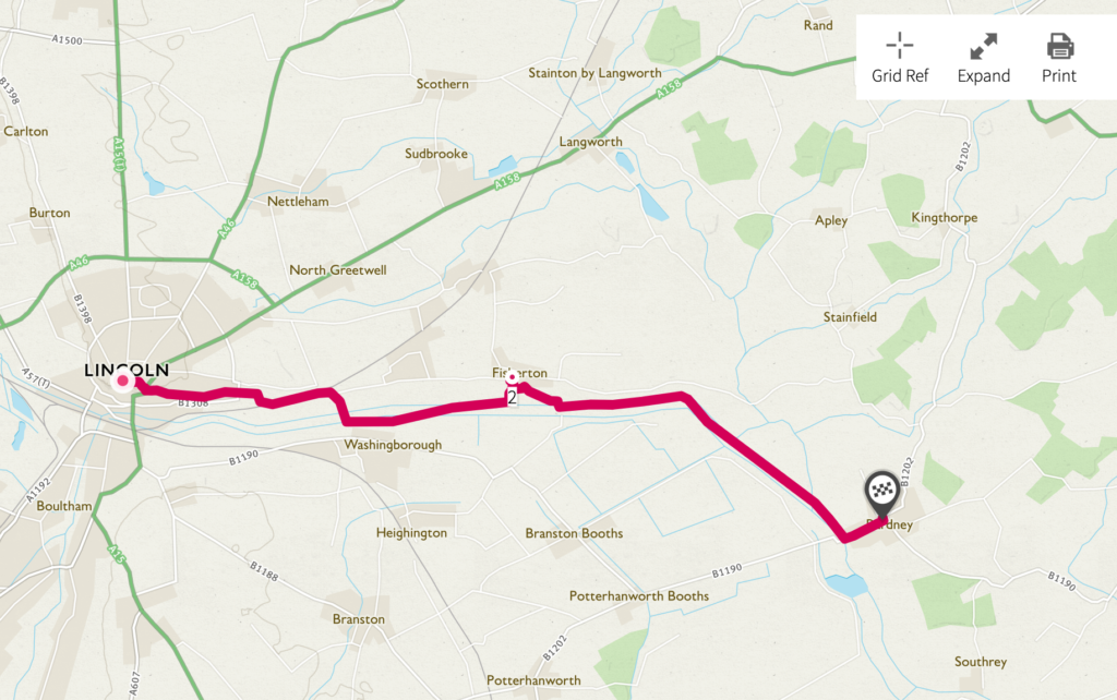
After a briefing, we divided into teams to cover regions in the southern part of Britain. Although I’ve lived in the South-East for many years, that team had many volunteers so I worked on the East Midlands team and focused my efforts on linking the towns of east Lincolnshire.
I found it a challenge to find footpaths out of Mablethorpe, given all the drains in the fens, but moving west to the Wolds and on towards Lincoln provided more opportunities.
I thoroughly enjoyed the day as it combined three of my interests of digital, geography and walking. And the whole group found it a productive day.
Dan will be working out the next stages of the project in due course.